

Private land
Read parcel boundaries and access labels, and see why a person's parcel shows an address rather than a name.
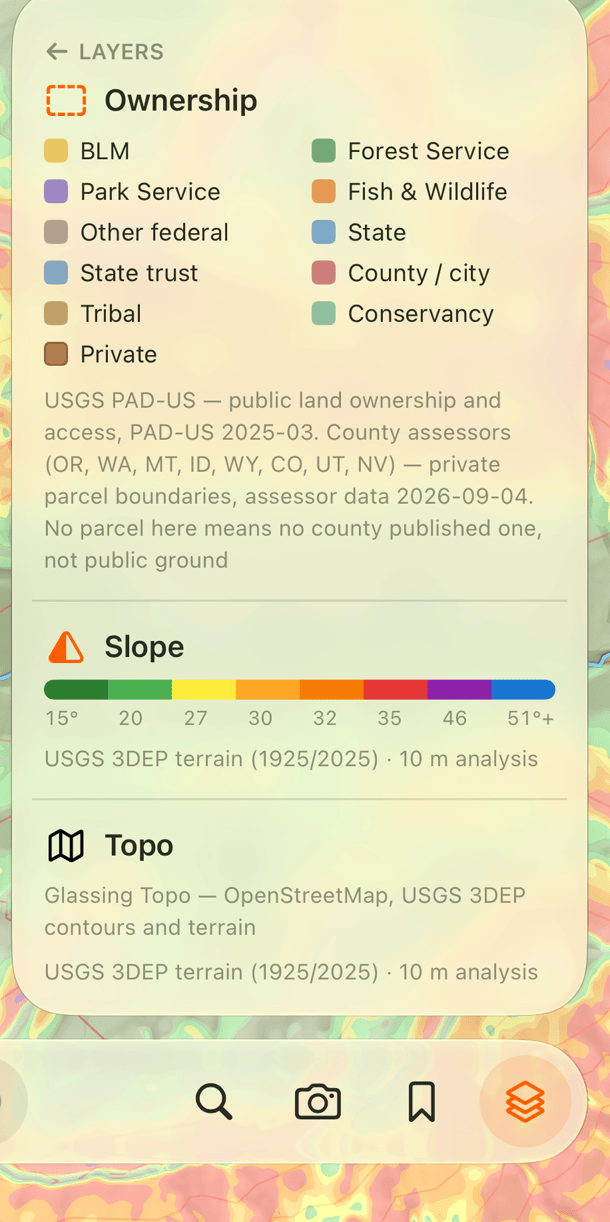
Turn on Ownership in the layers panel to see private parcels in tan and public land colored by manager. Zoom in if parcel boundaries are not visible.
Check access at a spot
In Explore, tap the ground to open its panel. The access label uses green for public, amber for restricted, red for closed, gray for unknown, and tan for private.
Some labels include an arrow to the owner's published access rules. Glassing shows the website's domain before opening it.
A blank area does not mean public land
Ownership coverage depends on the county. Missing boundaries mean the dataset has no parcel information for that spot. They do not establish permission to enter.
The coverage table lists available areas and whether they include owner names. It also shows which layers need a connection. Ownership coverage lists the data included by county.
Owner names and boundaries
Where a county publishes owners, the panel names an organization: a company, a trust with a business name, a ranch, a mine. It never names a person. A person's parcel shows its street address in place of a name — the number and the street, with no unit, city, or ZIP — where the county recorded one. This holds in every state.
Names and addresses come from the county assessment roll, which is public record. To have one taken off the map, email privacy@glassing.app with the parcel details. Removing one means rebuilding the layer, so it goes out with the next publish rather than the same day.
Parcel lines are not surveyed boundaries. Check signs and the owner's access rules. See Sources and limits for more about the data.
Need help? Email support.